In the first 3 sections of the lab, students conducted used both mathematical and computer generated methods to discover either the scales, record area/perimeters, and measure relief displacement. The measurement of area/perimeters was done via the ERDAS imagine digitizing tool.
The calculating of scales was done using the equation: s = f/H' where;
S= scale
f = focal length
H'= height of image taken - height of area above/below sea level.
calculating relief displacement was done using the equation: D = (hxr)/H where;
D= displacement
h= height of object
r= radial distance object is from principle point
H= height of plane taking photo
Part 2: Stereoscopy
In this portion of the lab, students uploaded two images into ERDAS imagine, one was an image of the city of Eau Claire and the other was a digital elevation model of the same area (DEM). Students than used an anaglyph operation to create stereoscopic image of the area. With polarized glasses, looking at this image produces a 3d image of the area showing both the features of the land, and the differentiating relief across the city.
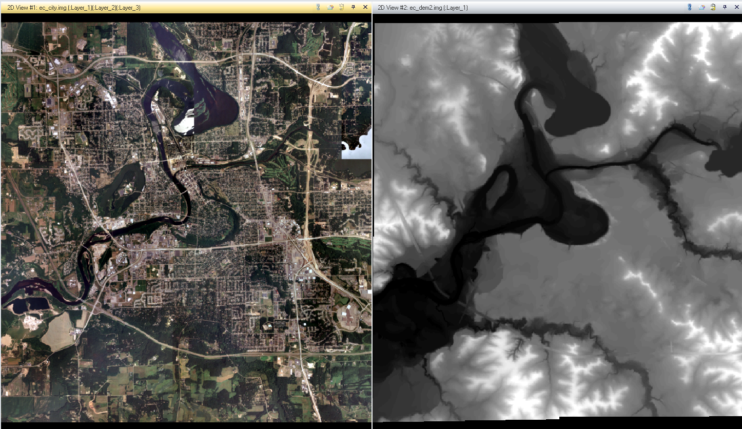
The image produced was accurate in its relief, but also introduced an element of geometric scaling error. This error is produced when an image has height variation, but has the same general scale. The result is taller features displaying relief displacement, where they are oriented at odd angles in relevance to their actual appearance in the real world
 |
| here we see a smoke tower that is altered due to relief displacement on the upper campus UWEC |
Part 3: Orthorectification
orthorectification is a very intensive process that involves heavy input from the user. The subject area of the images being corrected was that of Palm Springs, California. By using the Lecia Photogrammetric Suite (LPS) digital photogrammetry tool, students used control points and tie points to triangulate, and ultimately orthorectify the images we collected into one. we used multiple scale images and also a digital elevation model to create the output image where relief displacement and other geometric errors have been removed, along with an overall improvement of accuracy.

No comments:
Post a Comment